Monday, November 21, 2005
Sunday, November 20, 2005
I am going to continue to document how GPS can help. Below is a one of the many uses for GPS.
Tracking sex offendersSatellite system shows it can nail a parolee who strays from the path.
Tracking sex offendersSatellite system shows it can nail a parolee who strays from the path.
A new law allowing paroled sex offenders to be monitored by satellite tracking technology has resulted in its first local success. If all goes well, it will be the first of many.
On Thursday, about six weeks after Gov. Schwarzenegger signed the law permitting global positioning systems to be fixed to the ankles of freed sex offenders, parole officers arrested a man in Anaheim after he had been discovered in areas frequented by children.
Parolee Robert Dobucki, who had been fitted with a GPS ankle bracelet, visited an elementary school, a doll shop and a children's amusement park before his arrest, according to news reports.
It's an encouraging sign that California's system may work as effectively as the one it was modeled after, in Florida. GPS tracking in Florida appears to have reduced repeat offenses among high-risk offenders by as much as 50 percent.
In the Anaheim case, the GPS system worked exactly as intended.
Read More
Tracking sex offendersSatellite system shows it can nail a parolee who strays from the path.
Tracking sex offendersSatellite system shows it can nail a parolee who strays from the path.
A new law allowing paroled sex offenders to be monitored by satellite tracking technology has resulted in its first local success. If all goes well, it will be the first of many.
On Thursday, about six weeks after Gov. Schwarzenegger signed the law permitting global positioning systems to be fixed to the ankles of freed sex offenders, parole officers arrested a man in Anaheim after he had been discovered in areas frequented by children.
Parolee Robert Dobucki, who had been fitted with a GPS ankle bracelet, visited an elementary school, a doll shop and a children's amusement park before his arrest, according to news reports.
It's an encouraging sign that California's system may work as effectively as the one it was modeled after, in Florida. GPS tracking in Florida appears to have reduced repeat offenses among high-risk offenders by as much as 50 percent.
In the Anaheim case, the GPS system worked exactly as intended.
Read More
Saturday, November 19, 2005
This a very interesting developement in GPS. In buildings and in some city areas it is often hard to get a reliable GPS signal. This technolgy hopes to eliminate problems with coverage.
Location, location, television, location
Matthew Rabinowitz's Rosum Corp. uses TV signals to go where no GPS system has ever gone before. Finding the idea that launched his latest company took Matthew Rabinowitz about as long as it takes his technology to locate where he is at any given moment -- a nanosecond.
Nearly five years ago, Mr. Rabinowitz was contemplating an assortment of Global Positioning System gadgetry cluttering his Palo Alto home when he found his inspiration: why not use TV signals for GPS tracking?
Read More
Friday, November 18, 2005

I went Mountain Biking today and logged my route with my Garmin Etrex. I then used a great program called USAPhotoMaps to ovelay my route over a aerial photograph. The program is very is use and best of all it's free.
 Below is a pic of a Google ant. I think now I have heard it all.
Ants unearthed with Google Earth
At time when the power of information technology doubles every 12 to 15 months and extends to capture every scrap we have, digitizing biodiversity information is a final frontier for IT. It's an essential step to ensure society maintains and hopefully increases bio-literacy. Toward this end, there's Antweb. It's a project from the California Academy of Sciences that has incorporated the Google Earth interface to provide location-based access to the diversity and wonder of ants: from your backyard to the Congo Basin.
Read More

I think these would be good for Geocaching. I want a pair
Brinco Shoes: Air Jordans for the Migrant Set
Shoemakers have created all kinds of models for travelers, from rugged hiking boots to waterproof loafers, but they’ve yet to design anything specifically for the undocumented migrant market—until now. Inspired by the thousands of Mexicans and other Latin Americans who hike through cacti-strewn Southwestern deserts to enter the U.S. illegally each year, Argentine-born artist Judi Werthein has created Brinco shoes. Named for the Spanish verb “brincar,” which means “to jump”—as in, across the border—the high-top shoes have some unique attributes.
Read more at USA Today
Thursday, November 17, 2005
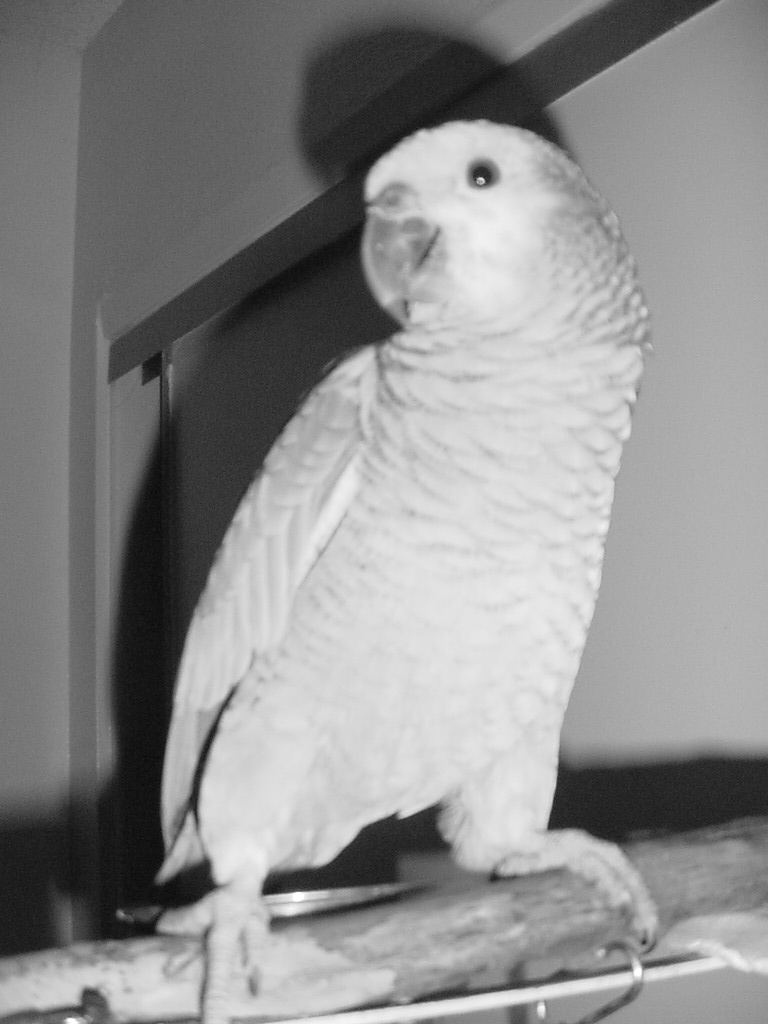
Tonight I installed one of my favorite programs Daemon Tools. The program allows one to emulate Cd's on virtual drives. I have added my Flickr feed below. I am going to update it hopefully daily. I have included a pic of my Bird Pele. He is a blue fronted Amazon and knows a variety words.
I have created a Frppr map for Widespread Panic fans. Go to http://www.frappr.com/widespreadpanic I will be covering GIS and Geocaching on this site so come back for updates.
Subscribe to:
Posts (Atom)